
Border to the Eastern Ainu Mosir
Yamukushinai Sekimon (Gateway) and Kaisho (Trade Office)
Edo Period
Yamakoshi Area, Pacific Coast (Funka Bay)
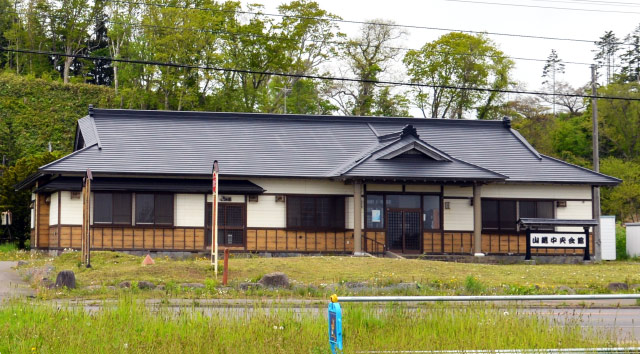
MAP No.14 [Yamakoshi Chuo Kaikan (Central Hall)/ Border to the Eastern Ainu Mosir Description Signboard]
MAP No.16 [Kumaishi Elementary School/ Border to the Western Ainu Mosir Description Signboard]
Yamukushinai Sekimon (Gateway) and Kaisho (Trade Office)
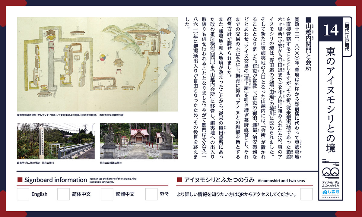
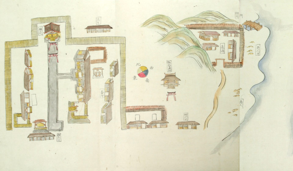
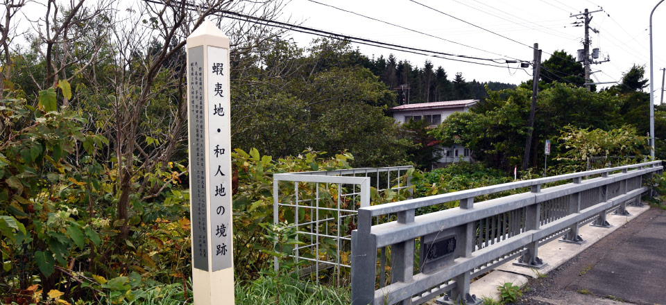
In Kansei 12 (1800), in response to external pressure, the Shogunate government took Eastern Ezo into its direct control, instead of Matsumae Domain. At that time, the Six Districts of Hakodate (from Oyasu to Nodaoi) were incorporated into Wajin (mainland Japanese) territory, resulting in the border to the Eastern Ainu Mosir being redefined as the Sakai River at the northernmost point of Nodaoi (Yui).
As a result, a “Kaisho” (Trade Office) was established in Yamukushinai, which had newly become the entrance to Eastern Ezochi. With government officials permanently stationed, the Kaisho provided officials’ accommodation, communications, public peace and order duties, and the “Unjoya” (Trading House) for trade with the Ainu continued to be operated under the Shogunate’s control. Dishonest trade, which had previously been rife, was rectified, and the Kaisho’s management policy was one that sought to foster friendly relations with the Ainu.
Furthermore, since the boundary between Ezochi and Wajin lands had been redefined, the guard function (of the “Sekimon”, or Gateway) that had previously been in place at Kameda Bansho (Guardhouse) was transferred to Yamukushinai Kaisho, and passage to Ezochi came to be regulated here too. Eventually, in Bunkyu 1 (1861) free passage into Ezochi was permitted, and the Sekimon’s role came to an end.
■Border to the Eastern Ainu Mosir
Yamakoshi 207-1, Yakumo-cho, Futami-gun, Hokkaido 049-2671
Yamakoshi Chuo Kaikan (Central Hall)
Approx. 3 mins walk from JR Yamakoshi Station